Yosemite!! – Part 2 – Half Dome Night Hike

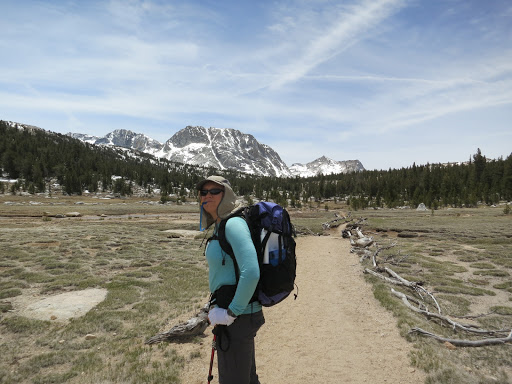
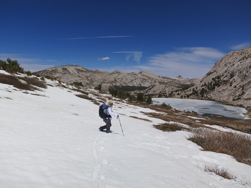
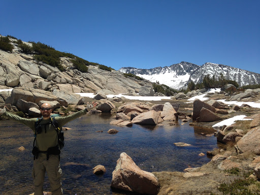
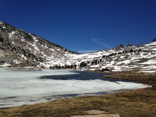
Note: this write up is from our hike in June, 2015

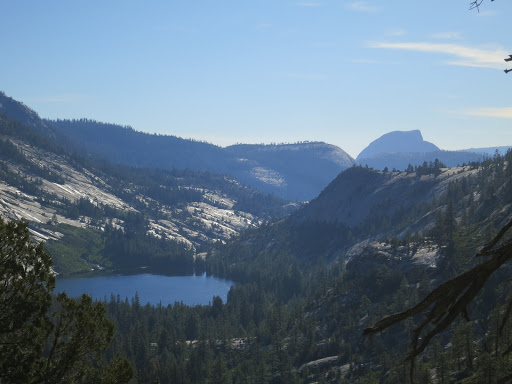
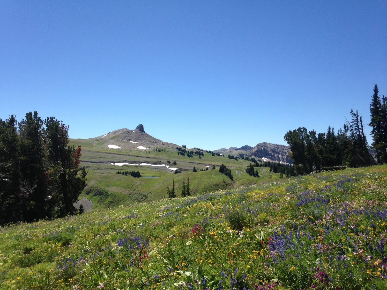
We drove to Olmstead Point with permits in hand feeling excited and tired. We had already hiked 15 miles today, and in a few short hours we would hike another 16 miles.

Around 8pm we made our way to the Happy Isles trail head parking lot. With the windows cracked open slightly for ventilation, we tried to sleep. Laurie – being the champion sleeper that she is – was out like a light in 10 minutes. But with a steering wheel between my legs and constantly worrying about rangers patrolling the parking lot I had a difficult time turning off my brain.

With cars constantly entering and leaving the parking lot, and the rangers checking for people sleeping in their cars every half hour, I didn’t sleep even for a moment.

By 10:30pm I’d had it. Laurie woke up yet again from my fidgeting and we decided to get our gear together and start hiking.

We were on the trail by 11:30, feeling wired with excitement.

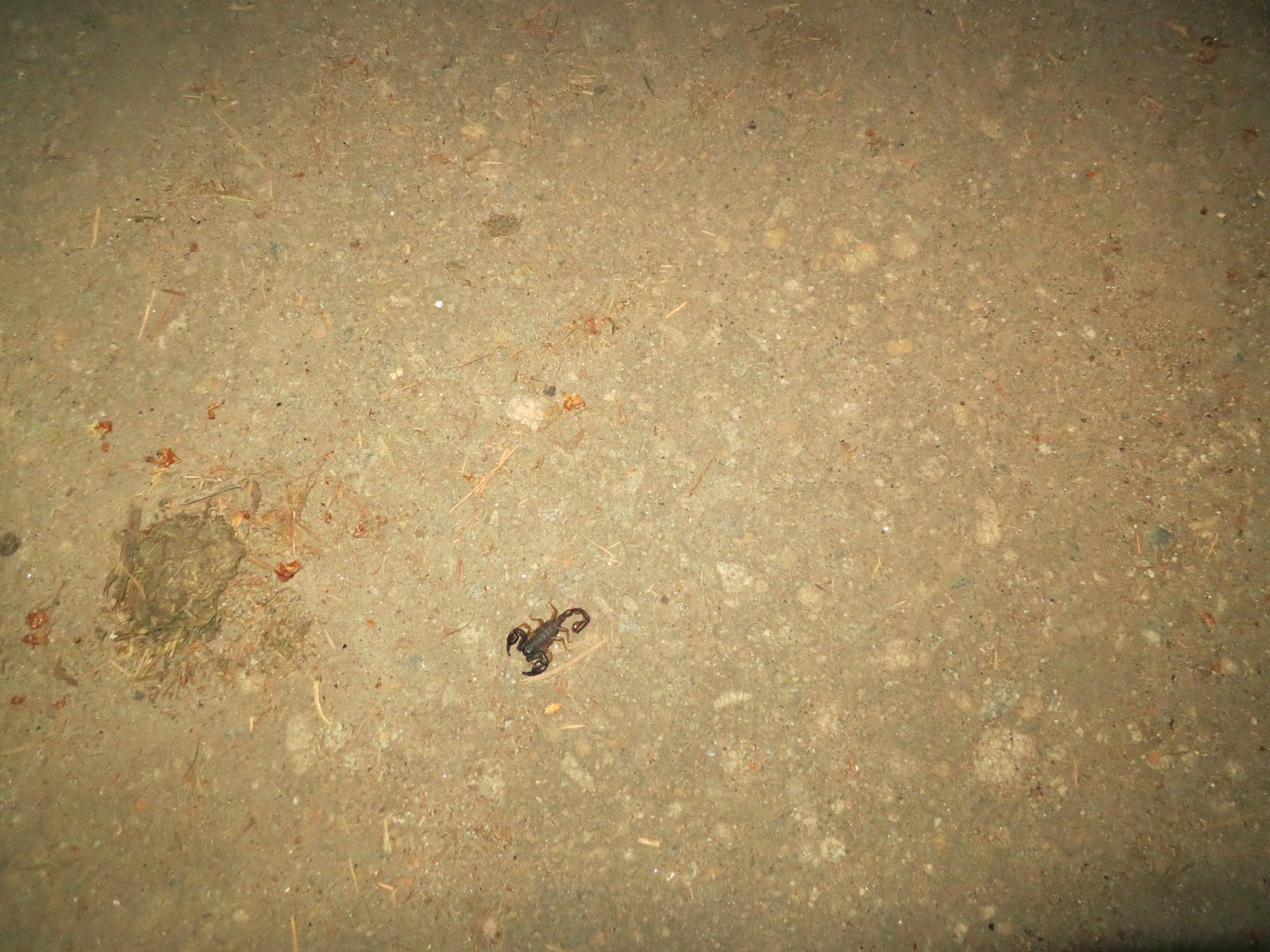
The critters really do come out at night. I saw many insects I never do during the day – like this scorpion.

We turned right onto the John Muir Trail and soon realized that although there was a full moon out tonight, it wasn’t going to light our way. We would need our headlamps.

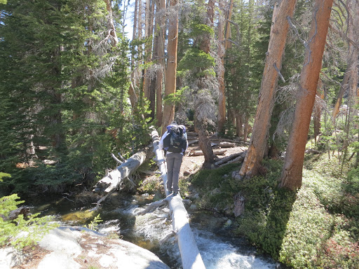
The first few miles came easy. We enjoyed walking in solitude, hearing only our breaths as we climbed.

The temperature was wonderful too. Upper 60s to low 70s.

Half way up the switchbacks on the JMT I began to feel really tired. I could have taken off my pack and napped on the trail. But instead, I ate a bar (or two) and kept walking.

Laurie was feeling great and enjoying herself too.

Around 2am we reached the bridge near the intersection of the JMT and the Mist Trail. Feeling good and with the moon finally above us, we enjoyed a few miles of headlamp free hiking. Once in tree cover again, we turned on our headlamps as we turned left towards Half Dome at the trail junction.

Around 4:30am we neared the base of Sub Dome. We were tired and wanted to wait for day break before heading up, so we took a 30 minute nap. We found flat ground to the left of the trail and laid out our deflated air pads on top of our Tyvek ground sheet. With our dirty, sweaty hiking clothes we got into our sleeping bags and were fast asleep.

Laurie’s alarm woke her up. But I didn’t hear it. When Laurie woke me up, I had no idea where I was and what I was doing. Feeling cold, Laurie threatened to leave without me if I didn’t get up asap.

After coming to, I got up, packed up and we were on the trail 5 minutes later.

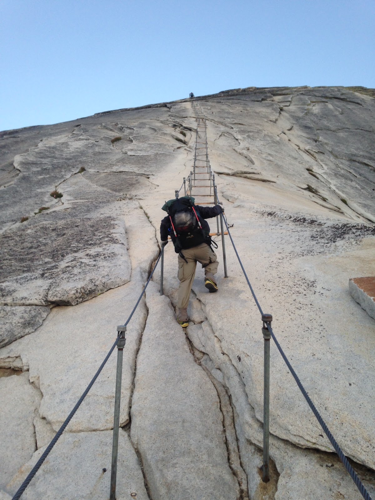
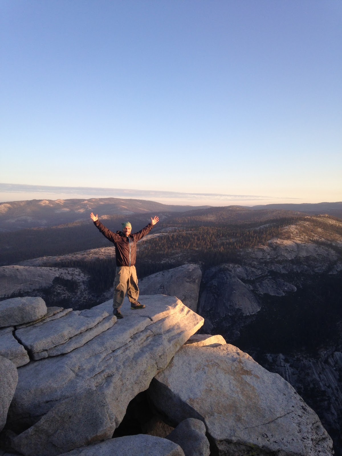
We reached the cables as day broke. Another spectacular day in Yosemite was upon us.

I’ve hiked Half Dome twice before and I still got the butterflies standing there gazing up the cables. This piece of granite scares me. The cables scare me. The exposure scares me. The height scares me. But I still do it. I love taking deep breaths, telling myself I can do this, and then doing it!

Laurie had hiked Half Dome three times before – two of those being night hikes. Half Dome does not scare her.

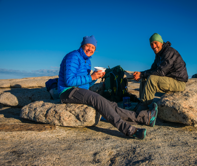
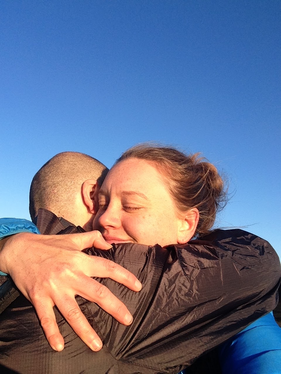
The bright orange sun and the claps of three women greeted us at the top of Half Dome. My forearms were burning and I was panting, but I didn’t care. I had overcome my fears once again.

On top of Half Dome we celebrated with hot soup thanks to our Jetboil 🙂

An hour and a half later we were ready to head down. I went first, facing Half Dome. For whatever reason, I feel more comfortable hiking down with my back toward Sub Dome. Laurie had lots of time to wait as I slowly made my way down and took a few photos capturing the steepness of the cables in some sections. I can’t believe some people hike this rock when the cables are down.

We passed many, many day hikers headed up as we made our way down the trail.

The John Muir Trail was the route of choice on our descent as well because of the gentle grade compared to the Mist Trail – which is shorter but steeper. The waterfalls are beautiful and we recommend the Mist Trail if you’ve never hiked it before, but we chose to save the pounding on our knees.

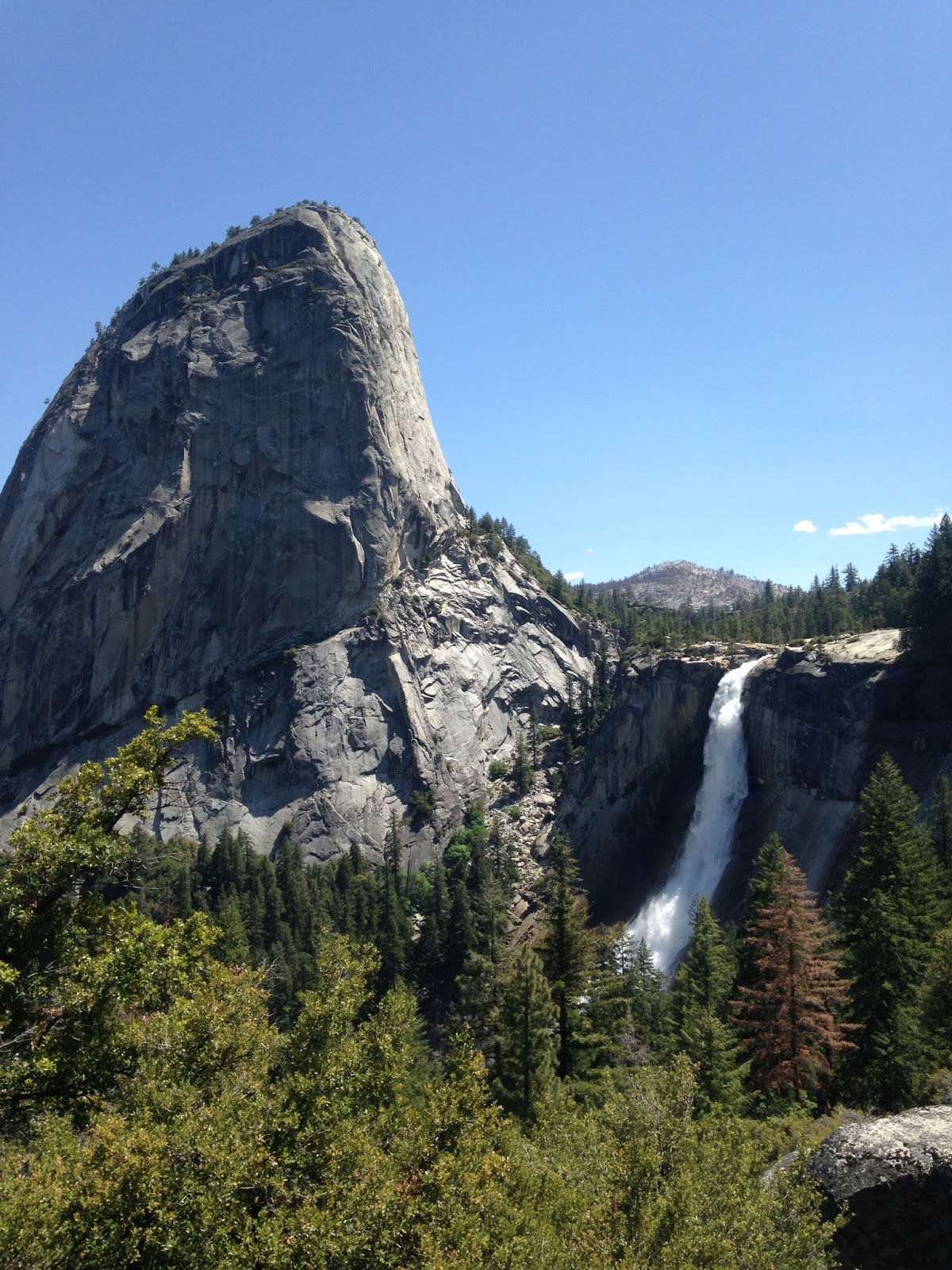
After a quick break to enjoy the views of spectacular Nevada Fall from the JMT, we continued down the trail.

We were exhausted by the time we made it back to the car. After changing into cotton t-shirts and flip flops, we went to Curry Village for the most disappointing burgers we’ve had. The chips and hummus though were delicious!

Eager to beat the Bay Area traffic, we hit the road shortly after. But we were really tired. A few miles past the 1,000 Trails campground junction, I pulled over on Highway 120 and we napped for 20 or 30 minutes before continuing on.

We love playing in Yosemite and look forward to returning soon – maybe for some winter activities…if we get any snow.

Yosemite!! – Part 1 – Vogelsang Loop

In late May we received the tent we hoped would be our home on the PCT next year. We had to make sure we liked this tent so we decided to go to Yosemite National Park and try her out. This trip would also give Laurie an opportunity to finally use her new backpack – the ULA Catalyst she purchased at the PCT kickoff.

We drove to a campground east of Tioga Pass, set up our Tarptent Double Rainbow and sealed its seams.. We had enough day light, it was relatively warm with no wind, so why not? Twenty minutes later the job was done.

  
By 8am the following morning, we were in the car driving to the Tuolumne Meadows Ranger Station. We geared up and hit the trail toward Vogelsang High Sierra Camp, an area of Yosemite neither of us had yet explored. 
Our plan was to hike 15 miles to Merced Lake via the trail to the west that parallels Fletcher Creek and hike out the following day via Vogelsang Pass to the east. 
We shared fond memories of our individual JMT hikes in 2012 as we turned off the John Muir Trail in Lyell Canyon and onto the Rafferty Creek Trail.  
The wide open views got better and better as we hiked the 4.9 miles to the junction that would take us to the still closed Vogelsang High Sierra Camp. 

 
Our early start allowed us to take many breaks, soak our feet in the cool waters and enjoy the views. After the junction to Babcock Lake, we felt the burn in our legs and the heat from the late afternoon sun as we gained elevation. We contemplated ending our day at the crest of the climb partly because we were somewhat tired from two early morning starts we’ve had and partly because of the beautiful views, but we decided to keep going to make the following day easier instead of having to make up the miles from today.
We are glad we kept going because the views got better and better. And soon, Half Dome and Merced Lake came into view. 
Spurred on by the views, we descended toward Merced Lake. At a clearing before the ranger station we decided to take a dip in the river, hoping our sweaty clothes would dry in the sunshine. 
After a refreshing soak, we put on our now dry clothes and proceeded down the trail. At Merced High Sierra Camp we chatted with two men – the only other people there besides us. Soon after, we left the Camp, hiked up to a clearing off trail and found a nice spot to set up our tent for the night. 
We sat on the warm granite rocks after setting up our tent, had dinner and watched the peaks change colors. Soonafter, we retired to our tents and were asleep before the stars came out. Laurie is a champion sleeper and was out like a light. As for me, I tend to sleep very well for the first few hours, but then I wake up and toss and turn for the rest of the night. Tonight though, I hardly slept. 
Because we didn’t want to smell the fumes of the seam sealant, we chose to forgo applying the sealant to our tent floor until after the trip. Our tent was on a slightly angled slope, and let me tell you, I found out really quickly how slippery the tent floor really is. Laurie slid into me for most of the night, pressing my pad and me into the netting all night long.
The morning sun greeted us and promised yet another day of blue skies and warm temperatures. We packed up and were on the trail by 8am. Well, Laurie was anyway. She is quick to pack up get going but I take longer, which irritates her sometimes. A few minutes later, I was ready to leave as well. 
A few miles later we reached a scary log crossing. The log was roughly 12 feet above the raging river below and almost 20 feet long. Laurie went first. She didn’t know it but I was scouting other crossing locations (Laurie is more sure-footed than me and therefore more comfortable with water crossings). 
Before Laurie reached halfway, she stopped, looked back and said, “I can’t do it.” I went out on the log toward her, helped her turn around and get off of the log. This was the first time Laurie had been turned around by a log crossing. After reassuring her that this was indeed a harder-than-your-average log crossing, we found a safer area to cross and were back to gaining elevation in no time. 
The views soon opened up and once again we were stunned by the beauty of this area. So pretty! 

Every step we took, we gained in elevation and got closer and closer to Vogelsang Pass. And the views got better and better. Many people referred to May of 2015 as Maybruary because the Sierras received lots of rain and snow. The snow was still present atop the distant peaks and made hiking hard work. All I wanted to do was stop and soak in the views. 

From Vogelsang Pass, we really got a sense of how much snow lingered from the recent storms. Looking down toward Vogelsang Lake, we knew it would be slow going. But we didn’t think it would be this slow.
We postholed our way down the trail at a steady 1 mph, if that. At times we postholed down to our hip bones! And sinking only to our knees became something to rejoice.

We were very relieved when we made it to Vogelsang Lake. Even the mozzies couldn’t stop us from taking off our wet shoes and sitting on a flat rock for a long lunch break.

After lunch we hiked down to Vogelsang High Sierra Camp on mostly snow free trail. It was here where we began brainstorming about the following day. We had another day in Yosemite and wanted to make the most of our time there. 
Laurie mentioned night hiking to Half Dome since we had a full moon. This was a hard decision for us to make because we had hoped to ride our bikes from Lee Vining to Tioga Pass and beyond. But we didn’t want to deal with all the car, truck and RV traffic. 
So the decision was made. We would hike Half Dome – at night!
I ran down the trail in hopes of getting to the Ranger Station before they closed and securing our permits. But when I got there, they informed me that Half Dome day hike permits were only issued two days in advance. 
I felt dejected. 
Then I asked, “What about overnight permits? Can we get an overnight permit for Half Dome one day in advance?” The ranger – much to my surprise – said yes. 
I greeted Laurie with permits in hand when she made her way to the Ranger Station parking lot. It was now 5pm. At 11pm we would start hiking again!
Read part two here.

Grand Tetons Part 1: Death Canyon – Alaska Basin Loop

Trip dates: Tuesday, July 28 – Thursday, July 30, 2015

Trip Details: 
Death Canyon – Alaska Basin Loop: 3 days, 26 miles
Seven am on a nippy Tuesday morning found Laurie asleep in the car as I scoped out to the Grand Teton National Park Visitor Center. Only a handful of others were there, eagerly waiting for the Visitor Center to open. All of us had different itineraries. This put me at ease, slightly. 
We had no reservations but hoped to acquire permits for an overnight trip looping from Cascade Canyon to Paintbrush Canyon. Unfortunately those permits were all reserved, but we were able to get permits to enter from Death Canyon, camp in Alaska Basin – which is outside Grand Teton National Park – and exit Death Canyon via Death Canyon Shelf.
We drove the length of the bumpy dirt road to the trail head at Death Canyon. After a short 1.7 mile uphill walk, we enjoyed fantastic views of Phelps Lake. 
We chose to do this loop counter clockwise in order to do most of the climbing on our first day. Most backpackers may want to hike it clockwise but we enjoy big climbs right out of the gate. We can do this because fortunately we don’t require much acclimatization.
Day hiking Death Canyon to Buck mountain at 11,938 ft was quite popular. Many hiker were descending as we climbed higher and further into the majestic mountains. 
The weather couldn’t have been better either. We had partly cloudy skies with temperatures in the 60s to 70s. 

And the wildflowers. Oh my, the wildflowers. We were hiking through peak bloom! 

 
The hike up to Static Peak Divide was a long but gentle climb mostly shaded by trees.  We stopped for lunch near the Divide and enjoyed the jaw-dropping views. 

The wind had picked up and we were tired from a 12 hour, 800+ mile drive the day before, so we chose to forgo bagging Buck Mountain and descended toward Alaska Basin. The views on the other side of Static Peak Divide were equally magnificent. 
Camp for the night was near Mirror Lake. There are at least 4 designated campsites near the lake. About half a mile after the junction, there are more campsites near smaller bodies of water and streams. We set up camp in the trees, ate dinner by the lake soaking up the sunshine and went to bed before nightfall.

The next morning was a lazy one. Having to cover only 7 miles for the day, we enjoyed a long breakfast while allowing our tent to dry under the warm morning sunshine. Today promised big blue skies and warmer temperatures.
Around 10am we became stir crazy and were ready to get moving. We realized we had chosen a great camp spot after passing many backpackers on the other side of the lake. But the number of hikers didn’t matter because Alaska Basin is absolutely gorgeous. Thousands of wildflowers greeting us at every turn. 

The climb to Meek Pass was gentle and included many false summits along the way. This didn’t bother us much because Laurie and I agreed this was one of the most beautiful trails we have ever walked upon. The wildflowers, the gentle rolling trail and scenery were hard to beat. 

The miles came easy as we made our way down Death Canyon Shelf toward Fox Pass. The vistas  were tremendous. 

We dropped down into a bowl, escorted by wildflowers. Eventually we made our way into Death Canyon. Here one has to camp at designated and established campsites. We had our sights set on one such campsite near the eastern end perched high on flat boulders away from the trail. The campsites on the northern end had better views and less mosquitos but we had a long day ahead of us tomorrow and chose to make the following day as short as possible. 
We were glad with our decision because had we camped west of the group campsite, we would have had to hike through the overgrown trail the next morning. And odds are we would have been very wet from the brush.

Before entering Death Canyon we were warned by other hikers (but not rangers) of aggressive porcupines in the area that are attracted to salt. Flip flops and trekking pole handles were chew toys for these pesky critters. Although we didn’t see any, we were kept up most of the night by one making strange noises in the tree next to our tent. 
The next morning we felt groggy. Nevertheless we were up early and on the move before 7am. We had to hike back to Death Canyon Trailhead 5 miles away, get in our cars and drive to Jenny Lake Trailhead, where we would start our overnight loop through Cascade and Paintbrush Canyons.
The 5 mile hike to the trailhead from our campsite was easy, consisting of only one climb back up to Phelps Lake. There were more areas of the trail that were overgrown, but nothing that hampered our progress. We were hiking fast and on a mission to get to our car by 9am. At exactly 8:25am we reached the parking lot. Go us!
Tips for backpacking in the Tetons
  • Storing food in the car is considered proper bear storage. Bears don’t break into cars in the Tetons. 
  • There are no bear boxes at trailheads.
  • Designated camping only in established areas. The sites are well marked with signs and maps of the camping zones are available at the ranger station.
  • Peak season is last week of July.